

- Introduction to Wilderness Navigation
- Basic Wilderness Navigation Techniques
- Advanced Wilderness Navigation Techniques
- Survival Skills in Wilderness Navigation
- Safety Tips for Wilderness Navigation
- Training and Tools for Wilderness Navigation
- Conclusion: Navigating in the Wilderness
Introduction to Wilderness Navigation
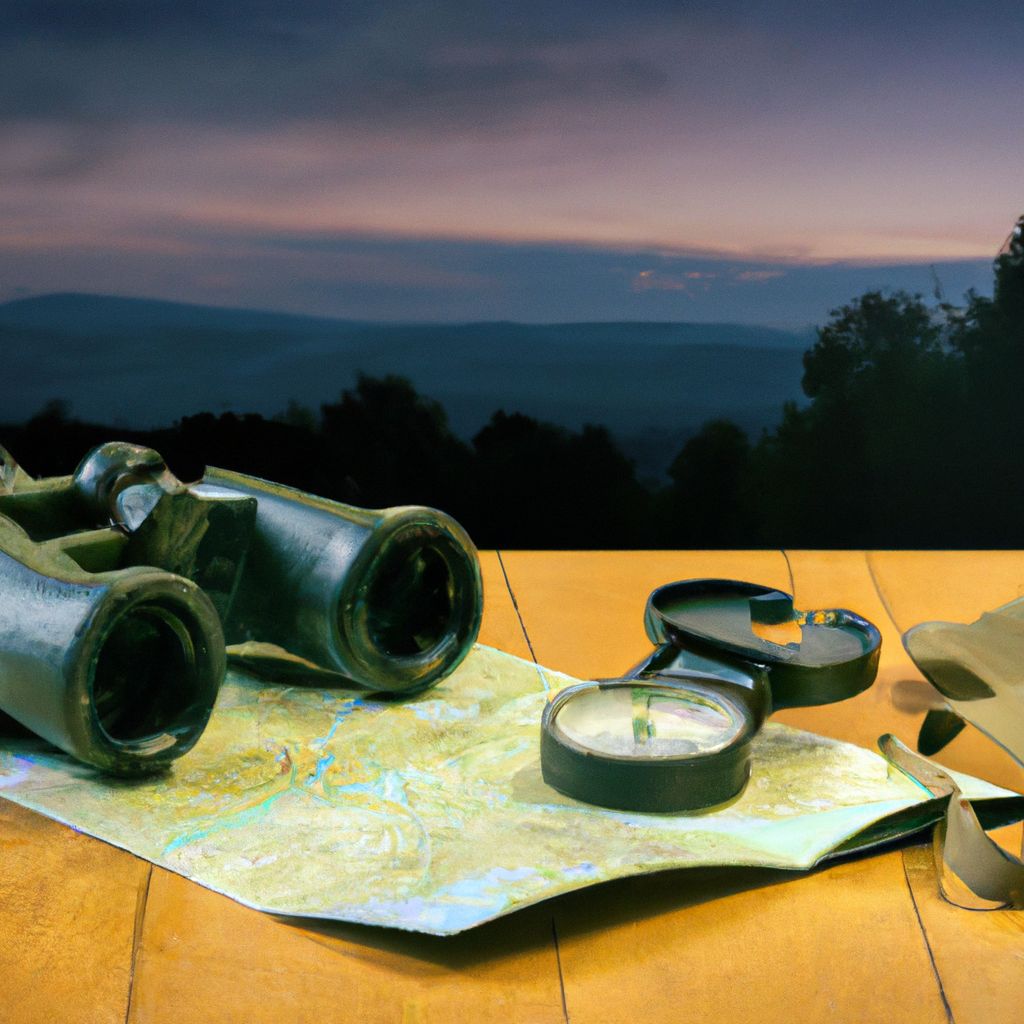
Wilderness navigation refers to the set of skills and techniques used to determine one's position, plan a route and successfully move through natural terrain. It is an essential skill for anyone planning to venture into the wilderness, whether for hiking, camping, hunting, or other outdoor adventures. The main goal of wilderness navigation is to ensure safety by preventing individuals from getting lost or straying into dangerous areas.
Understanding wilderness navigation is of crucial importance for several reasons. First, it increases your chances of survival in case of an emergency. Second, it allows you to reach your destination more efficiently, saving time and energy. Lastly, it enhances your outdoor experience by giving you the confidence to explore areas that are off the beaten path.
The basic skills needed for wilderness navigation include map reading, compass use, and understanding topographic features. Advanced skills include celestial navigation, GPS use, and the ability to interpret natural signs such as animal tracks and plant growth patterns.
However, navigating in the wilderness can be challenging. Unpredictable weather, changing landscapes, and the absence of clearly defined paths can make it difficult to determine your exact location or the best route to follow. Furthermore, the wilderness is a dynamic environment, and conditions can change rapidly, requiring constant vigilance and adaptability.
Basic Wilderness Navigation Techniques
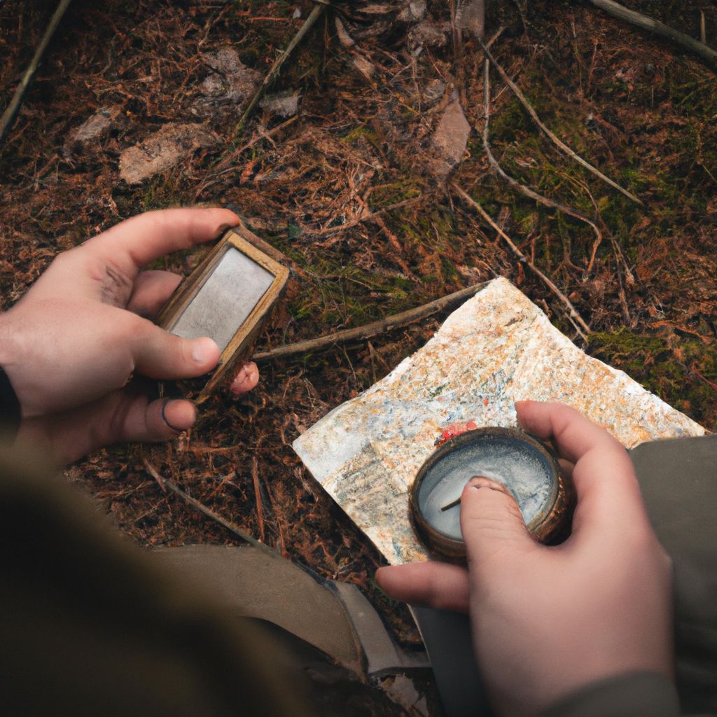
Compass Navigation
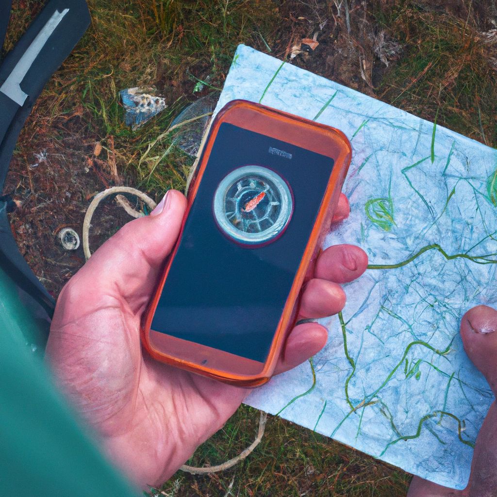
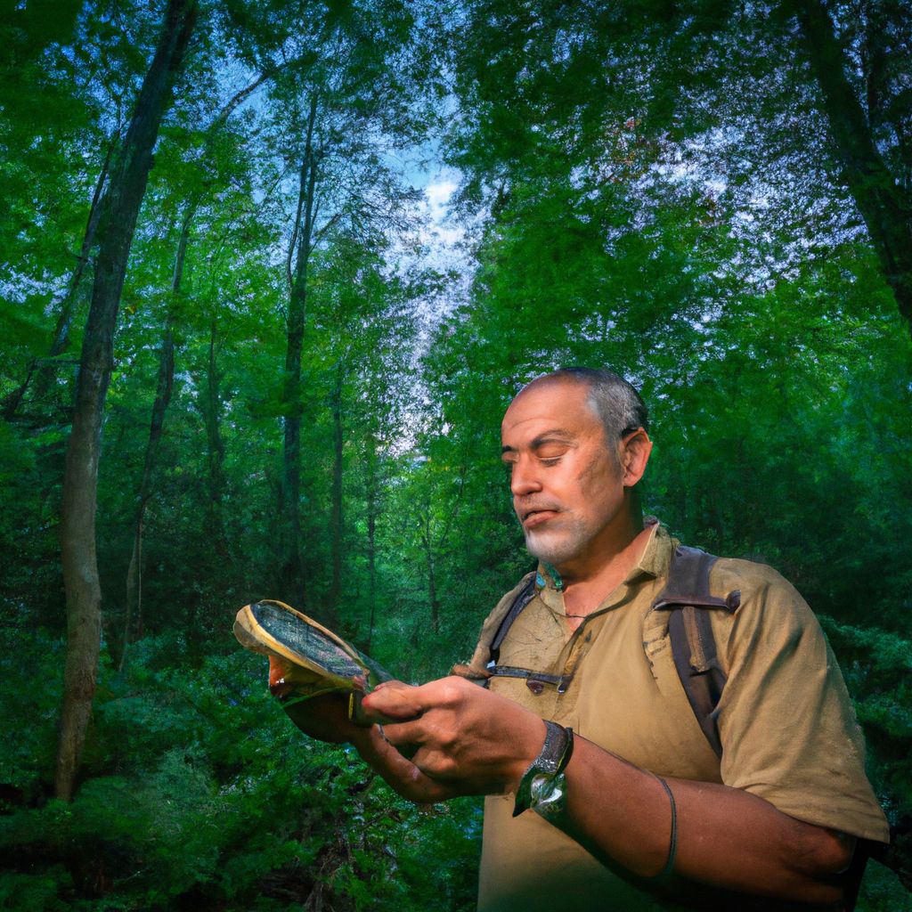
A compass is a vital tool for wilderness navigation. It allows you to determine the cardinal directions (North, South, East, and West) and thereby maintain a consistent course. The primary component of the compass is the magnetic needle, which aligns itself with the Earth's magnetic field and always points towards magnetic north.
- How to Use a Compass
- 1. Hold the compass level in your palm so the needle can rotate freely.
- 2. Turn yourself until the direction of travel arrow lines up with the direction you want to go.
- 3. Keep the needle aligned with the orienting arrow (also called the "shed") by adjusting your direction as you move.
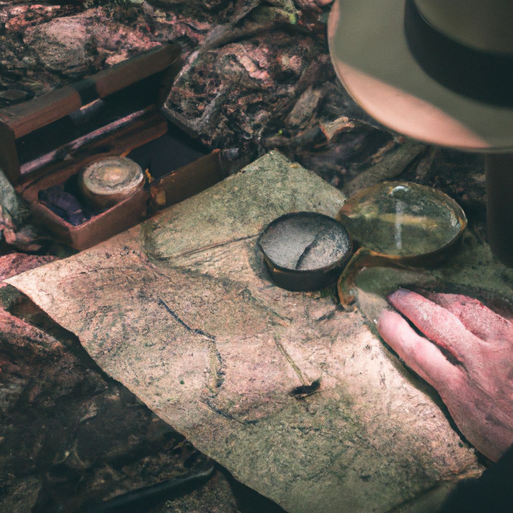
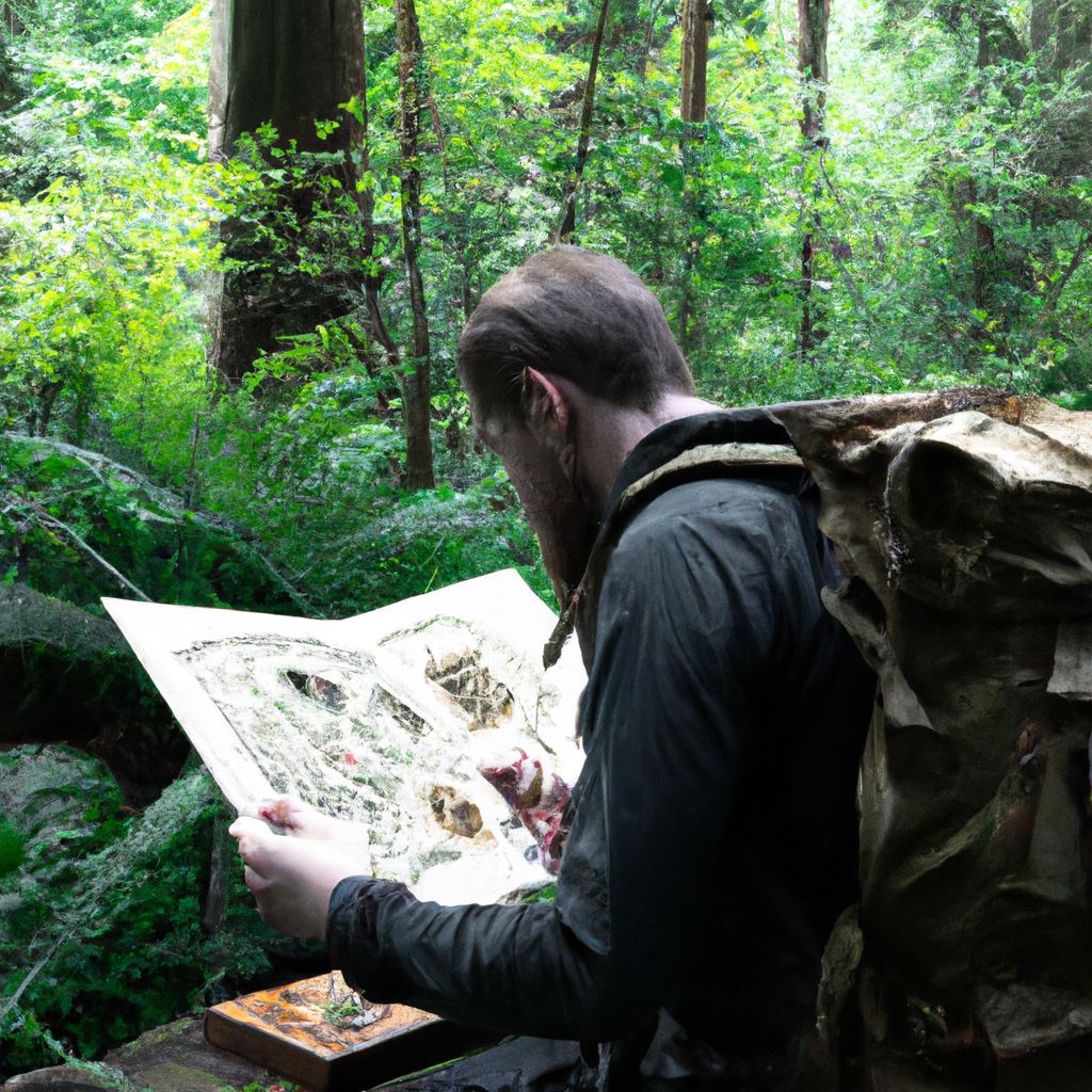
Map Reading
Maps are another crucial tool for navigation. They provide a visual representation of the landscape, including topographic features, trails, water bodies, and other landmarks. The most useful maps for wilderness navigation are topographic maps, which use contour lines to represent the shape and elevation of the terrain.
- How to Read a Map
- 1. Understand the map's scale, which indicates the relationship between distances on the map and in the real world.
- 2. Look at the legend to identify what different symbols and colors represent.
- 3. Use contour lines to understand the terrain's elevation and shape. Closer contour lines indicate steeper slopes.
Natural Landmarks
Natural landmarks, such as mountains, rivers, and distinctive rock formations, can also be useful for navigation. They can serve as reference points to help you orient yourself and determine your direction of travel. However, keep in mind that relying solely on landmarks can be risky, as they can be obscured by weather or changes in vegetation.
- How to Use Natural Landmarks
- 1. Identify distinctive landmarks on your map and in the landscape around you.
- 2. Keep track of these landmarks as you move, using them to verify your location and direction.
Advanced Wilderness Navigation Techniques

Celestial Navigation
Celestial navigation is the practice of using celestial bodies like the sun, moon, stars, and planets to find one's way. It is a more advanced technique that requires knowledge of astronomy and the movement of celestial bodies. For instance, in the northern hemisphere, the North Star (Polaris) can provide a reliable indication of true north.
- How to Use Celestial Navigation
- 1. Identify key celestial bodies based on the time of year and your location.
- 2. Use a sextant or other instrument to measure the angle between the horizon and the celestial body.
- 3. Use this information to calculate your latitude and longitude.
GPS Navigation
Global Positioning System (GPS) devices use satellite signals to provide accurate location data. They can provide your exact latitude, longitude, and altitude, making them extremely useful for wilderness navigation. However, they require batteries and may not work in all conditions or locations.
- How to Use GPS Navigation
- 1. Turn on the GPS device and wait for it to acquire a satellite signal.
- 2. Enter your destination coordinates or select a location on the map.
- 3. Follow the device's directions to reach your destination.
Altimeter
An altimeter is a device used to measure altitude, which is your height above sea level. Combined with a topographic map, an altimeter can help you determine your precise location by comparing your current altitude with the contour lines on the map.
- How to Use an Altimeter
- 1. Set the altimeter to the known elevation of a specific location.
- 2. As you move, the altimeter will show changes in elevation.
- 3. Compare these changes with the contour lines on your map to track your position.
Navigating in Different Weather Conditions and Terrains
Navigating in the wilderness can be particularly challenging in adverse weather conditions or difficult terrains. In such situations, it is important to rely on a combination of navigation techniques and to remain patient and flexible.
In heavy fog or snow, visibility can be severely reduced, making it hard to use visual landmarks or celestial navigation. In these conditions, a compass and map or GPS device can be invaluable. Similarly, in dense forest or hilly terrain, where landmarks may be obscured, these tools can help you maintain your course.
Survival Skills in Wilderness Navigation
Finding Food and Water
Surviving in the wilderness requires knowledge of how to find food and water. Water is the most critical survival need, and while it can be found in rivers, streams, and lakes, it should always be purified before drinking to remove potential pathogens.
- Finding and Purifying Water
- 1. Look for water sources like rivers, streams, and dew on plants.
- 2. Collect the water in a container, if available.
- 3. Purify the water by boiling it for at least one minute or using a water filter or purification tablets.
Finding food in the wilderness can be more challenging, but edible plants, berries, nuts, and insects can provide necessary nutrients. Knowledge of local flora and fauna is invaluable in identifying safe and nutritious food sources.
Building a Shelter and Staying Warm
Shelter is crucial for protection from the elements and for maintaining body temperature. A basic shelter can be constructed using natural materials like branches, leaves, and snow.
- Building a Shelter
- 1. Choose a location that's protected from the wind and water.
- 2. Use branches or other materials to create a frame.
- 3. Cover the frame with leaves, grass, or snow for insulation.
Staying warm is crucial for survival. This can be achieved by wearing layered clothing, staying dry, and building a fire.
Handling Encounters with Wildlife
Encounters with wildlife can be dangerous if not handled correctly. It's important to understand the behavior of local wildlife and to know how to react in case of an encounter. In general, it's best to avoid close contact, to make noise to scare away animals, and to store food securely to avoid attracting them.
- Handling Wildlife Encounters
- 1. Keep a safe distance and never approach or feed wild animals.
- 2. If you encounter a predator, try to appear larger, make noise, and slowly back away without turning your back.
- 3. Store food securely and away from your sleeping area to avoid attracting animals.
Safety Tips for Wilderness Navigation
Inform Others About Your Route
Before heading into the wilderness, it's vital to let someone know your planned route and expected return time. If you encounter a problem and fail to return, this information can guide search and rescue efforts.
- Informing Others
- 1. Share your planned route and schedule with a reliable person.
- 2. Include details like departure time, expected return time, and any alternate routes you might take.
- 3. Update this person if your plans change.
Carry Essential Supplies
Carrying essential supplies can increase your chances of survival in case of an emergency. This includes a map and compass for navigation, food and water, a first-aid kit, a multi-tool or knife, a headlamp or flashlight, and fire-starting materials.
Understanding Signs of Danger
Recognizing signs of danger in the wilderness can prevent accidents and injuries. This includes understanding weather patterns, knowing the signs of hypothermia and heatstroke, being aware of dangerous plants and animals, and knowing how to navigate safely around hazardous terrain.
- Identifying Signs of Danger
- 1. Monitor weather conditions and seek shelter in case of severe weather.
- 2. Be aware of symptoms of hypothermia (such as shivering, confusion, and fatigue) and heatstroke (such as headache, dizziness, and nausea).
- 3. Learn about local plants and animals to avoid dangerous encounters.
- 4. Use a map and compass to avoid hazardous terrain like cliffs and fast-moving rivers.
Training and Tools for Wilderness Navigation
Training for Wilderness Navigation
Effective wilderness navigation requires both knowledge and practice. Training can begin with learning basic skills like map reading and compass use, and gradually move on to more advanced techniques like GPS and celestial navigation. Many outdoor organizations and schools offer courses in wilderness navigation, ranging from beginner to advanced levels.
- Training Steps
- 1. Start with basic map and compass skills.
- 2. Practice these skills in a controlled environment before applying them in the wilderness.
- 3. Take courses or workshops to learn advanced techniques.
- 4. Regularly practice and refine your skills.
Tools for Wilderness Navigation
Having the right tools can significantly aid wilderness navigation. Essential tools include a map and compass, a GPS device, an altimeter, and a reliable watch. Additionally, a smartphone with navigation apps can be a valuable tool, provided there is sufficient battery life and signal.
Apps and Courses for Wilderness Navigation
Several apps and online courses can help you learn and practice wilderness navigation. Apps like Gaia GPS, Topo Maps+, and Avenza Maps provide access to detailed topographic maps and tracking features. Online platforms like Coursera, Udemy, and REI Co-op's Outdoor School offer courses in wilderness navigation, taught by experienced professionals.
- Recommended Apps and Courses
- 1. Gaia GPS - for detailed maps and tracking.
- 2. Topo Maps+ - for access to USGS and US Forest Service maps.
- 3. Avenza Maps - for offline use.
- 4. Wilderness Navigation Course on Coursera - for comprehensive training.
- 5. Outdoor Navigation with Map and Compass on Udemy - for basic skills.
- 6. REI Co-op's Outdoor School - for a variety of outdoor skills courses.
Conclusion: Navigating in the Wilderness
Learning to navigate in the wilderness is an indispensable skill for any outdoor enthusiast. It not only enhances your ability to explore and appreciate the natural world but also significantly increases your safety. The importance of knowing how to use a map and compass, understanding natural landmarks, and being able to adapt to changing conditions cannot be overstated.
Advanced techniques like celestial navigation and GPS use, as well as survival skills like finding food and water, building a shelter, and handling wildlife encounters, can further boost your confidence and self-reliance in the wilderness.
Remember, wilderness navigation is a skill that requires continuous learning and practice. So, keep exploring, keep learning, and most importantly, keep practicing. As you improve your navigation skills, you'll find that your adventures in the wilderness become more rewarding and enjoyable.
Whether you're preparing for a multi-day backpacking trip or a short day hike, investing time in learning and honing your navigation skills is a worthwhile endeavor. So, grab your compass, unfold your map, and step into the wilderness!